
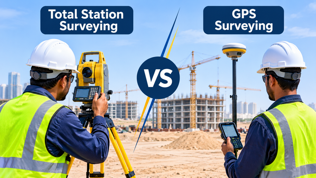
Total station and GPS surveying are often used together on the same project, yet the survey team must still decide which instrument to deploy first. Site openness, restricted access, project deadlines and drawing tolerances each influence that choice in a different way. A well-judged decision keeps fieldwork efficient, while a poor one costs valuable time on site.
This article explains how experienced surveyors make that decision. It also shows why the two instruments deliver the most reliable results when each is used to verify the other.
What a Total Station Measures on Site
A total station measures angles and distances. You set it up over a known point, aim at a prism or a surface, and it calculates the position of whatever you hit. The readings come out in millimetres at normal working range, which is why it remains the instrument of choice for fine detail, building layout and levels.
It has one big requirement: a clear line from the instrument to the target. Walls, parked vehicles and site hoardings all get in the way. Our survey equipment list shows how many total stations a busy survey company keeps in the field, and the reason is simple. They do most of the detailed work.
What GPS Surveying Measures on Site
GPS surveying, or more correctly GNSS, works the other way round. The receiver does not need to see the next point. It only needs a clear view of the sky. Corrections from a base station or a reference network then bring the result down to centimetre level.
That makes it fast over wide areas. A surveyor can walk a plot boundary or drive a corridor without stopping to set up at every station. Height is usually the weaker figure, though, and a receiver loses accuracy near tall structures. For the signal side of the story, read our guide on surveying in GPS.
Reading the Site Before You Pick an Instrument
Experienced surveyors walk the site first. They look up, then they look around. Is the sky open? Are there buildings or trees close by? How big is the area, and how precise does the final drawing need to be?
Those three answers usually settle the question. Open sky and a large area point to GPS. Tight spaces and fine detail point to the total station. A job that mixes the two, like most real topographic surveys, needs both.
When the GPS Receiver Comes Out First
GPS goes first when the site is wide, open and short on fixed marks. Large plots, road corridors, desert land and reclaimed areas all fit that description. The receiver covers ground quickly, and it gives every point a coordinate in the same system.
It also works well for the first job on any new site: setting up control. A few solid points, placed with GPS, give the rest of the survey a frame to hang on. Our article on kinematic GPS surveying shows how teams collect data on the move, and our page on control points explains why that frame matters.
When the Total Station Comes Out First
The total station goes first when precision matters more than speed, or when the sky is blocked. Think of building corners, column grids, basement levels and the edges of a narrow plot. A receiver struggles in those places, and the total station does not care about the sky at all.
It also leads on layout work. Pegging out a foundation or checking a boundary against approved coordinates needs millimetre-level repeatability. For example, a land demarcation survey and a pre-construction survey both rely heavily on it. Inside finished buildings, 3D laser scanning takes over where even a total station cannot reach easily.
Why Many Jobs Start with One and Finish with the Other
In practice, most jobs run as a relay. GPS sets the control around the site. The total station then picks up from those points and records the detail. Finally, the crew uses GPS again to tie the result back into the wider coordinate system.
This split plays to each instrument’s strength. GPS gives a reliable frame without a long chain of setups. The total station adds the fine detail inside it. The same logic helps with levels, such as gate level computation, where the boundary points come from GPS and the finished levels come from the instrument that reads height best.
Checking One Instrument Against the Other Before You Sign Off
Here is the habit that separates careful crews from hurried ones. Before leaving site, they check one instrument against the other. They measure a known control point with the receiver, then set the total station on it and compare the result. They also compare the distance between two GPS points with the distance the total station reads.
When the numbers disagree, the cause is usually simple. A wrong instrument or pole height, a prism setting, a bad coordinate system or a mix-up between grid distance and ground distance all produce small gaps. Find the cause before you trust either number. The same cross-check supports benchmark work too, as our benchmark survey service shows. For current official requirements, confirm with the Department of Municipalities and Transport.
Conclusion
So, which one do you reach for first? The one the site asks for. Open ground and wide areas call for GPS. Tight spaces and fine detail call for the total station. Most jobs use both, and the best results come when each instrument checks the other. Our GPS survey team works this way on every project.
Frequently Asked Questions
1. Is a total station more accurate than GPS?
At short range, usually yes. A total station reads in millimetres, while RTK GPS works at centimetre level. GPS also tends to be weaker on height.
2. Can GPS replace a total station?
Not fully. GPS struggles near tall buildings and indoors, and it cannot match a total station for fine layout work.
3. Which one is faster?
GPS is faster over large, open areas because it needs no line of sight. A total station is faster for dense detail in a small area.
4. Why do GPS and total station readings sometimes differ?
Common causes include wrong instrument or pole heights, a mixed coordinate system, and the difference between grid and ground distance.
5. Do most survey jobs use both?
Yes. Crews usually set control with GPS, record detail with the total station, and check one against the other.