
GPS Survey
Global Positioning System is the sophisticated survey technology, it is an easy survey method while compared with Total Station where man can access. The GPS is able to receive signals from satellites and from its base same time. GPS is a highly accurate navigation system using signals from satellites to determine a location on the Earth’s surface, irrespective of weather conditions.
It is dependent on GPS satellites high above the Earth which transmit signals containing the time and location of the satellite. Any ground-based receiver which receives signals from four or more GPS satellites can use navigation equations to calculate its location on the Earth’s surface. Constant signaling can then update speed and direction information for moving receivers.
How is GPS works?
The Global Positioning System(GPS) is a satellite based positioning system operated and controlled by the US Department of Defense by using NAVSTAR satellites (SVs) in space. The US department of Defense Controls the system by using four ground based monitor stations, a master and three up loaded stations.
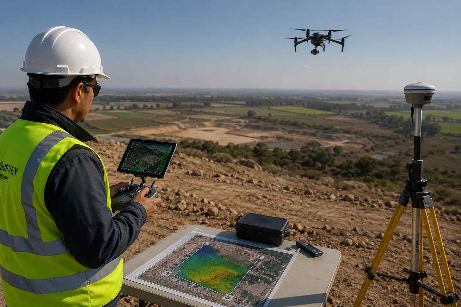
GPS Surveying Requires the simultaneous observation of the same four satellites by at least two GPS receivers. The Base receiver is located over a known control point for the duration of the survey The rover receiver is moved to the points that are to be surveyed or stacked out. When the data from these two receivers is combined; the result is a three -dimensional vector between the base and rover.
FAQ
A GPS survey is a surveying method that uses satellite signals to determine precise horizontal and vertical positions on the Earth’s surface. Modern survey equipment receives data from multiple GNSS constellations, including GPS, GLONASS, Galileo, and BeiDou, to establish accurate coordinates for boundary surveys, topographic mapping, construction layout, and engineering control.
GPS GNSS surveys are widely used for land development, road construction, infrastructure projects, utility corridors, property boundary surveys, topographic mapping, and construction setting out. They are particularly effective for large project sites where accurate positioning and survey control are required to support engineering design and construction activities.
GPS is a satellite navigation system developed by the United States, while GNSS (Global Navigation Satellite System) refers to all global satellite positioning systems, including GPS, GLONASS, Galileo, and BeiDou. Modern survey receivers use multiple GNSS constellations to improve positioning accuracy, signal availability, and reliability, especially in challenging environments.
A GPS GNSS survey typically uses dual-frequency GNSS receivers, RTK (Real-Time Kinematic) or Static Survey methods, a base station, a rover receiver, and survey controllers. The collected data is processed using specialized software to generate coordinate reports, CAD drawings, GIS datasets, Digital Terrain Models (DTM), and other engineering deliverables.
GPS GNSS surveying provides high positional accuracy, rapid data collection, and consistent results over large areas. It reduces fieldwork, minimizes manual measurement errors, and supports efficient planning, construction, and asset management. The technology also performs reliably in various weather conditions, making it suitable for infrastructure, utility, and land development projects.
The deliverables depend on the project requirements and may include control point coordinates, CAD drawings, survey reports, Digital Terrain Models (DTM), GIS-compatible datasets, topographic maps, construction layout information, and as-built survey data. These files can be integrated with engineering software such as AutoCAD, Civil 3D, and GIS platforms for design and project execution.