

Mobile Mapping System Services in Abu Dhabi

Collect fast, accurate, and geo-referenced spatial data using advanced Mobile Mapping and LiDAR technology for infrastructure, transportation, utility, and engineering projects.

Mobile Mapping combines LiDAR scanners, GPS/GNSS, IMU sensors, HD cameras, and GIS technology on a moving platform to capture highly accurate geospatial data without interrupting site operations. This advanced surveying method enables rapid data collection for roads, highways, railway corridors, utility networks, smart cities, industrial facilities, and large land developments.

The captured data is processed into point clouds, digital terrain models (DTM), CAD drawings, GIS datasets, and as-built surveys, providing engineers and project teams with reliable information for planning, design, construction, and asset management. Mobile Mapping significantly reduces field time, improves safety, increases survey efficiency, and delivers accurate spatial data for faster and better project decisions.

mobile mapping

Our Services

Professional Surveying & Mapping Solutions

We provide accurate, reliable, and technology-driven surveying and mapping services that support construction, infrastructure, land development, and engineering projects across the UAE.

Topographical Land SurveY

Topographical Land Survey

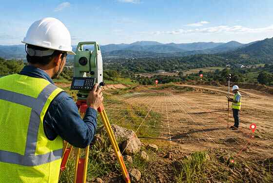
Professional topographical surveys using Total Station and GPS technology to provide accurate terrain data for construction projects.
Building Surveys

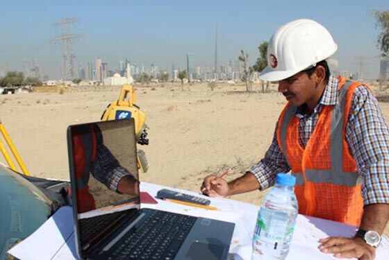
Our experienced building surveyors deliver accurate measurements and detailed survey data to support construction, renovation, and development projects.
GPS

GPS Surveys

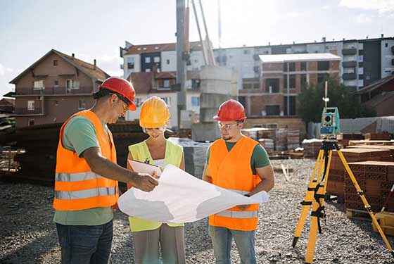
GPS RTK units are highly effective tools for collecting precise positioning and elevation data across large open areas.

why choose us

Accurate Solutions With
Trusted Expertise

We combine advanced surveying technology with experienced professionals to deliver precise, reliable, and efficient geospatial solutions for every project.

Advanced Technology

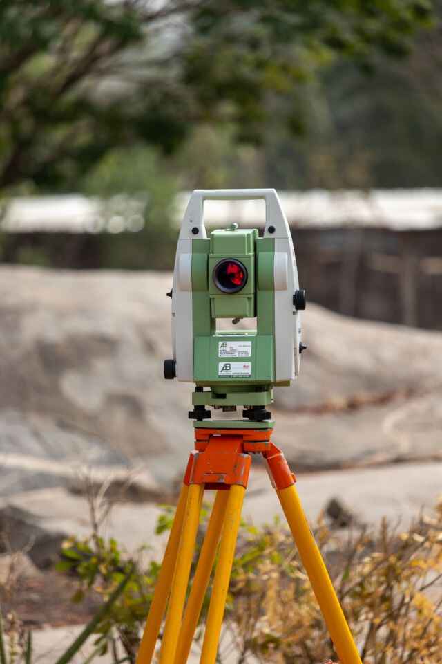
We utilize modern surveying equipment and advanced technology to deliver highly accurate results.

Experienced Professionals

Our skilled surveyors and engineers provide reliable solutions backed by years of industry experience.

Accurate Data Results

Precise measurements and detailed survey data ensure confident planning and project execution.

Fast Project Delivery

Efficient workflows and expert teams help complete projects on time without compromising quality.

Mobile Mapping Services FAQ

1. What is Mobile Mapping?

Mobile Mapping is an advanced surveying method that collects geospatial data using a moving vehicle equipped with LiDAR scanners, GPS/GNSS receivers, IMU sensors, and high-resolution cameras. It enables rapid, accurate mapping of large areas while reducing field time and maintaining survey-grade accuracy for engineering and infrastructure projects.

2. How does Mobile Mapping work?

A Mobile Mapping System integrates LiDAR, GPS/GNSS, IMU, and imaging sensors to continuously capture geo-referenced data while the vehicle is in motion. The collected information is processed into point clouds, GIS datasets, CAD drawings, and digital terrain models, providing accurate spatial data for planning, design, and asset management.

3. Where is Mobile Mapping used?

Mobile Mapping is widely used for highways, railways, utility corridors, airports, ports, industrial facilities, smart cities, municipal roads, and large infrastructure developments. It is particularly effective for projects that require rapid data collection across extensive areas without disrupting normal operations.

4. What types of projects require Mobile Mapping?

Mobile Mapping is suitable for transportation infrastructure, road networks, railway corridors, utility mapping, urban development, asset inventory, city modelling, and large-scale land development projects. It provides reliable spatial information that supports engineering design, construction, and long-term asset management.

5. What equipment is used in a Mobile Mapping System?

A Mobile Mapping System typically includes LiDAR scanners, GPS/GNSS receivers, Inertial Measurement Units (IMU), high-resolution cameras, and onboard data processing systems. These technologies work together to capture accurate three-dimensional geospatial data while the survey platform is moving.

6. What industries benefit from Mobile Mapping?

Mobile Mapping is widely used across construction, transportation, utilities, railways, municipal engineering, oil and gas, telecommunications, mining, airports, ports, smart city development, and infrastructure management, where fast and accurate geospatial data is essential for project success.

Get In Touch with Us Easy

Scroll to Top