
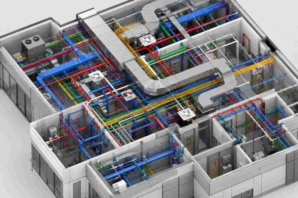
BIM Modeling Services UAE | 3D Coordination & Clash Detection

Professional BIM modeling services delivering accurate 3D Revit models, clash detection, point cloud integration, and LOD-based documentation for architectural, structural, MEP, and infrastructure projects.

Our BIM modeling services provide detailed 3D digital models that combine architectural, structural, and MEP information into a coordinated project environment. Using Autodesk Revit and advanced BIM workflows, we develop accurate models with required LOD specifications to support design review and construction planning.

We create 3D BIM models, point cloud-to-BIM conversions, clash detection reports, and construction documentation to improve coordination between engineers, architects, and contractors. These models help identify design conflicts, reduce rework, and enhance project accuracy before construction begins.Our BIM solutions support residential, commercial, industrial, and infrastructure projects with reliable digital models that improve workflow efficiency and construction management.

BIM modeling

OTHER SERVICES

Topographical Land SurveY

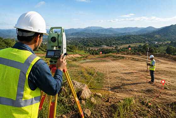
Topographical Land Survey

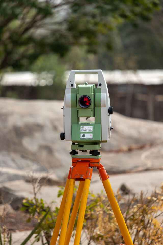
Professional topographical surveys using Total Station and GPS technology to provide accurate terrain data for construction projects.
3d laser scanning survey

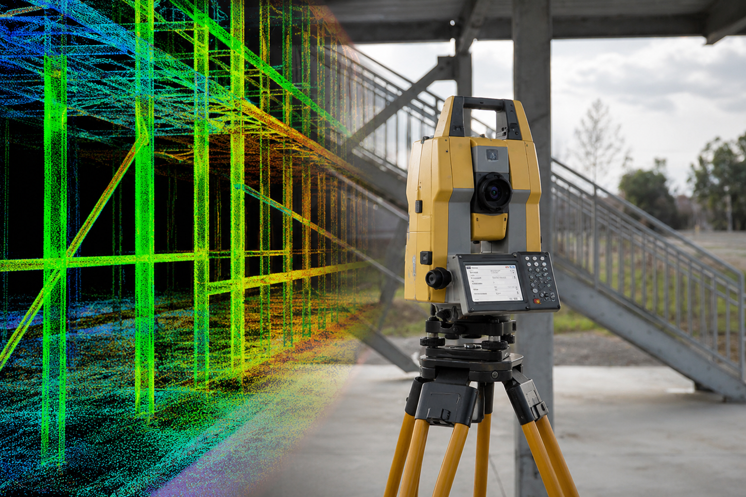
3D Laser Scanning

Professional 3D laser scanning services using advanced LiDAR technology to capture accurate point cloud data for engineering, BIM, and construction projects.
Control Point Survey

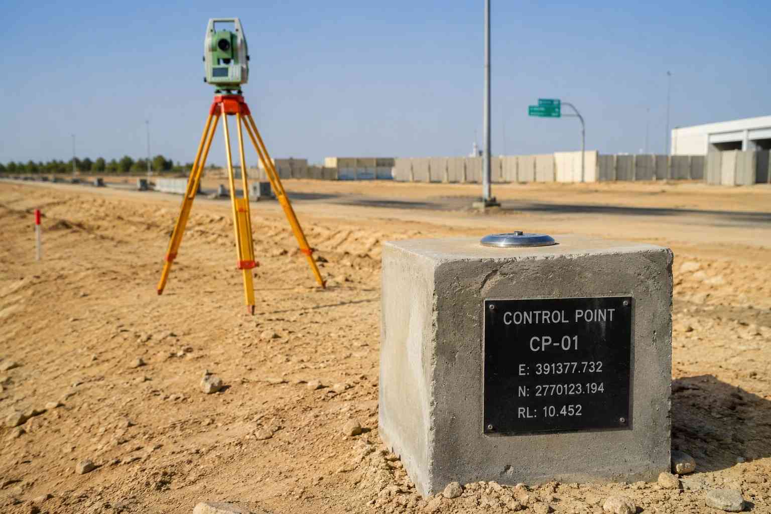
Control Point Survey

Professional control point surveys using GNSS GPS and Total Station technology to establish accurate survey control for construction, mapping, and engineering projects.

why choose us

Accurate Solutions With
Trusted Expertise

We combine advanced surveying technology with experienced professionals to deliver precise, reliable, and efficient geospatial solutions for every project.

Advanced Technology

We utilize modern surveying equipment and advanced technology to deliver highly accurate results.

Experienced Professionals

Our skilled surveyors and engineers provide reliable solutions backed by years of industry experience.

Accurate Data Results

Precise measurements and detailed survey data ensure confident planning and project execution.

Fast Project Delivery

Efficient workflows and expert teams help complete projects on time without compromising quality.

BIM Modeling FAQ

1. What is BIM Modeling?

BIM Modeling is a digital construction process used to create intelligent 3D models containing geometric information and engineering data of a building or infrastructure project. BIM models integrate architectural, structural, and MEP elements to improve design coordination, visualization, and construction planning.

2. Why do customers need BIM Modeling Services?

Customers use BIM modeling services to improve project accuracy, reduce design conflicts, and achieve better coordination between different engineering disciplines. BIM models help owners, architects, engineers, and contractors review project details before construction and make informed decisions during the project lifecycle.

3. What are the benefits of BIM Modeling Services?

BIM modeling services provide benefits such as improved design coordination, early clash detection, accurate quantity estimation, reduced construction errors, and better project documentation. They help project teams optimize workflows and minimize costly modifications during construction.

4. What are the advantages of using BIM Modeling in construction projects?

The main advantages of BIM modeling include improved collaboration, enhanced visualization, accurate 3D coordination, faster design validation, and better construction management. BIM enables teams to identify conflicts between architectural, structural, and MEP systems before site execution.

5. What software is used for BIM Modeling Services?

BIM modeling is commonly developed using software platforms such as Autodesk Revit, Navisworks, AutoCAD, and other BIM-compatible tools. These platforms support 3D modeling, model coordination, clash detection, and construction documentation.

6. What are LOD Levels in BIM Modeling?

LOD (Level of Development) defines the level of detail and information included in a BIM model. Different LOD stages, such as LOD 100, LOD 200, LOD 300, LOD 400, and LOD 500, represent the progression from conceptual design to detailed construction and as-built documentation.

Get In Touch with Us Easy

Scroll to Top