
Gate Level Computation UAE | Plot Elevation Survey Services
Gate level computation based on precise elevation surveys, benchmark verification, and GNSS/total station measurements to determine approved plot levels for construction and authority submission.
Gate Level Computation (GLC) is a specialized land surveying process used to establish the proposed gate and plot elevation in relation to approved reference benchmarks. The survey ensures that building entrance levels, road levels, and surrounding infrastructure are properly coordinated as per authority requirements.
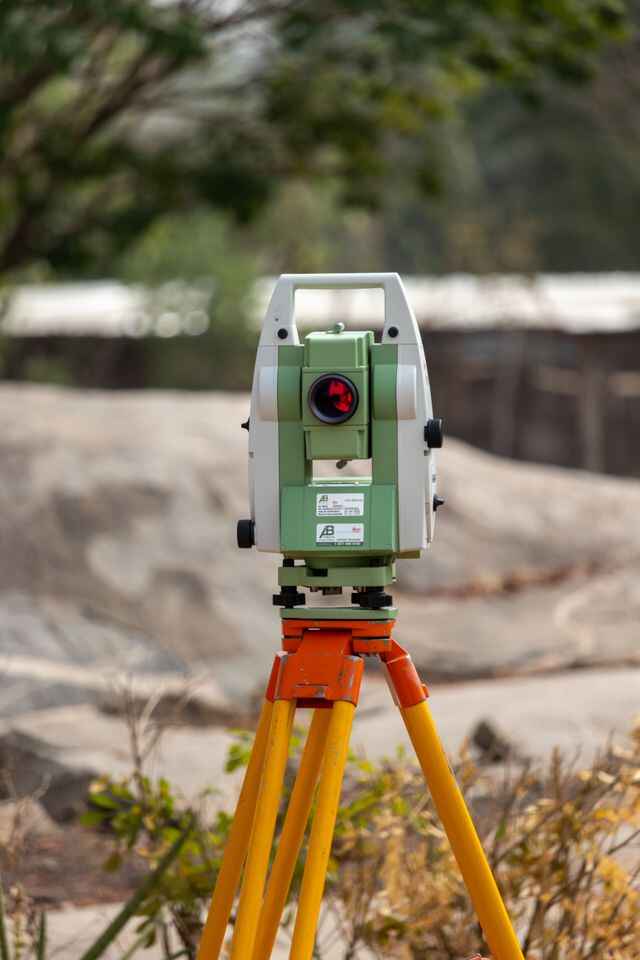
Our GLC survey involves benchmark transfer, differential leveling, total station observations, and GNSS/GPS measurements to determine accurate reduced levels (RL) of the plot. The collected field data is processed to prepare gate level computation reports and technical documentation required for approval submission.
Accurate gate level information is essential for maintaining proper drainage gradients, avoiding level conflicts with adjacent properties, and ensuring compliance with municipal construction standards. The survey data supports architects, engineers, and contractors during planning and execution of residential, commercial, and infrastructure projects.
OTHER SERVICES
why choose us
Accurate Solutions With
Trusted Expertise
We combine advanced surveying technology with experienced professionals to deliver precise, reliable, and efficient geospatial solutions for every project.
Advanced Technology
We utilize modern surveying equipment and advanced technology to deliver highly accurate results.
Experienced Professionals
Our skilled surveyors and engineers provide reliable solutions backed by years of industry experience.
Accurate Data Results
Precise measurements and detailed survey data ensure confident planning and project execution.
Fast Project Delivery
Efficient workflows and expert teams help complete projects on time without compromising quality.
Gate level computation FAQ
Gate Level Computation (GLC) is a surveying procedure used to determine the approved entrance and plot elevation of a property with reference to established benchmarks. The survey identifies the required reduced level (RL) of the gate and ground floor area to ensure proper coordination with road levels, drainage systems, and surrounding developments.
Gate Level Computation is required to establish the correct plot elevation before construction begins. It helps maintain uniform building levels within a development area, prevents drainage-related issues, and ensures that the proposed construction levels comply with requirements set by local authorities.
Gate Level Computation is carried out using precision surveying instruments such as digital levels, automatic levels, total stations, and GNSS/GPS equipment. These instruments are used to transfer benchmark elevations, measure site levels, and calculate accurate reduced levels for the plot.
A Gate Level Computation report generally includes benchmark details, existing ground levels, proposed gate elevation, reduced level (RL) values, survey observations, site coordinates, and supporting drawings or documents required for authority review and approval.
A gate level survey provides accurate elevation data required for proper building planning. It helps avoid conflicts between plot levels and road infrastructure, supports effective stormwater drainage design, reduces future modification work, and assists engineers in preparing compliant construction drawings.
The accuracy of gate level computation depends on benchmark reliability, instrument calibration, site accessibility, and field conditions. Changes in road formation levels, incorrect reference data, or unauthorized modifications near the plot can affect the final elevation assessment and may require additional verification.