Benchmark Survey Services UAE | Elevation & Survey Control
Benchmark surveys establish precise elevation references and site control points using GNSS, digital levels, and total stations for construction, infrastructure, and setting-out works.
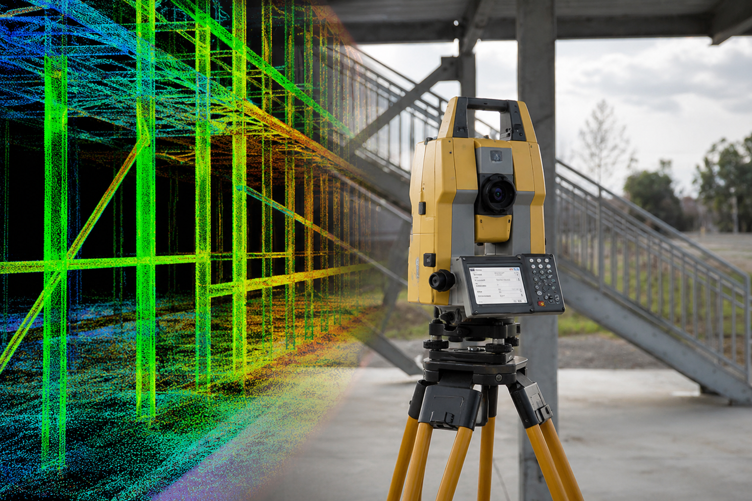
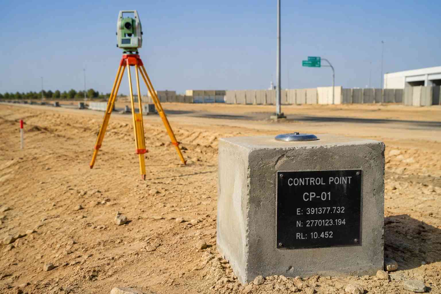
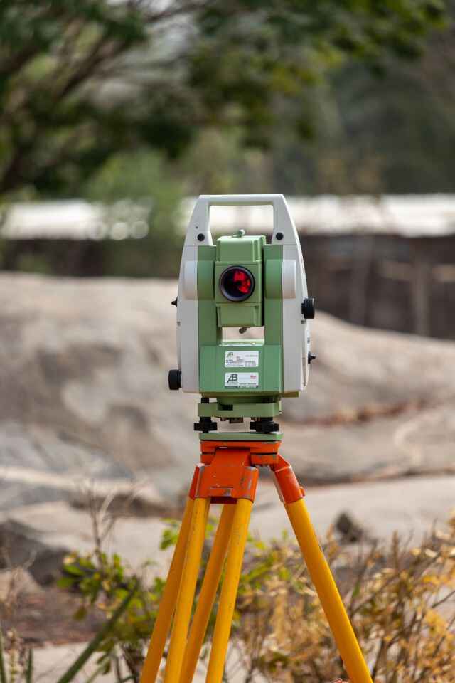
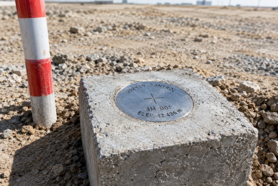
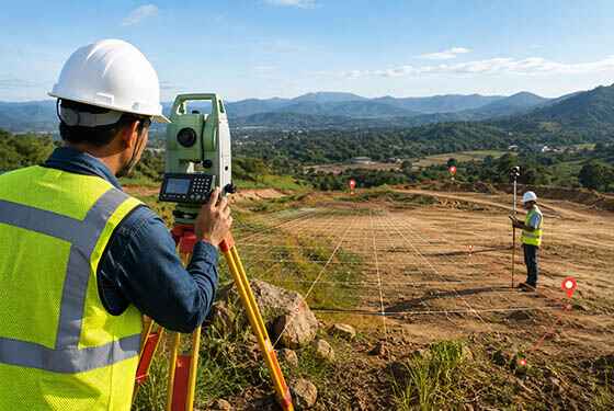
Our benchmark survey services provide precise elevation references and established survey control points for construction, infrastructure, and land development projects. Using GNSS receivers, digital levels, and total stations, we establish and verify benchmarks, temporary benchmarks (TBM), and vertical control points based on the required project datum and control network.
We carry out benchmark establishment, elevation verification, TBM transfer, level runs, and survey control checks to provide reliable reference data for site grading, structural works, road construction, drainage, utilities, and setting-out activities. Accurate benchmark information helps maintain consistent elevations across different project stages and reduces discrepancies between design levels and site conditions.
OTHER SERVICES
why choose us
Accurate Solutions With
Trusted Expertise
We combine advanced surveying technology with experienced professionals to deliver precise, reliable, and efficient geospatial solutions for every project.
Advanced Technology
We utilize modern surveying equipment and advanced technology to deliver highly accurate results.
Experienced Professionals
Our skilled surveyors and engineers provide reliable solutions backed by years of industry experience.
Accurate Data Results
Precise measurements and detailed survey data ensure confident planning and project execution.
Fast Project Delivery
Efficient workflows and expert teams help complete projects on time without compromising quality.
Benchmark FAQ
A benchmark provides a known elevation reference used to establish and transfer vertical control across a project site. Surveyors use benchmark elevations for levelling, site grading, foundation levels, road profiles, drainage slopes, and construction setting out. The benchmark is normally tied to the specified vertical datum.
A survey control point can define horizontal position, vertical elevation, or both. A benchmark is specifically a vertical control point with a known or established elevation. Horizontal control points are referenced by coordinates, while benchmarks are primarily used to maintain consistent RL (Reduced Level) values throughout the survey and construction works.
Select a stable, undisturbed point such as a concrete monument or permanent structure and install a survey marker or benchmark plate. Connect it to an established vertical control point using digital or precise levelling. Take BS and FS observations, calculate the RL, close the level run against known control, and document the final elevation and benchmark location for subsequent construction surveys.
Differential levelling is commonly used to transfer benchmark elevation between control points. The surveyor establishes a level setup, observes backsight (BS) and foresight (FS) readings, and determines the elevation difference between points. For higher-order control, precise levelling with controlled sight lengths, calibrated equipment, and closure checks is applied to minimise systematic and observational errors.
Benchmark elevation is verified by performing an independent levelling run between the benchmark and an established vertical control point. The resulting RL (Reduced Level) is compared with the published or accepted elevation, and the level misclosure is evaluated against the specified survey tolerance. Unacceptable closure indicates the need for observation checks and, where required, re-levelling.