
Topographic Survey | Accurate Terrain Mapping

Precise topographic survey services delivering terrain mapping, contour data, and site measurements for construction, engineering, and infrastructure projects.

A Topographic Survey captures existing site conditions, ground elevations, contours, roads, buildings, utilities, drainage, and vegetation using GPS/GNSS, Total Station, digital levels, and UAV-based data collection.

Processed data is delivered as CAD drawings, Digital Terrain Models (DTM), contour maps, and site plans compatible with AutoCAD, Civil 3D, and GIS platforms. This supports earthwork calculations, drainage design, site planning, and construction layout across residential, commercial, industrial, and infrastructure projects.

By capturing precise ground and terrain data early, a Topographic Survey helps engineers and architects reduce design changes, minimize construction risks, and improve project planning with confidence.

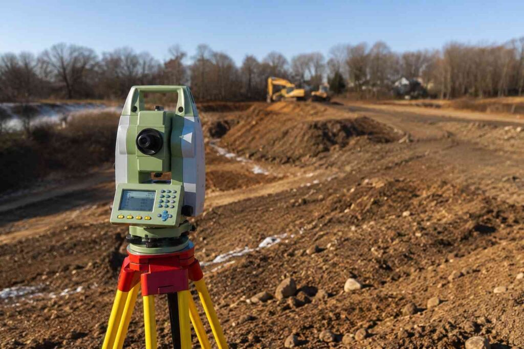
Topography survey equipment

OTHER SERVICES

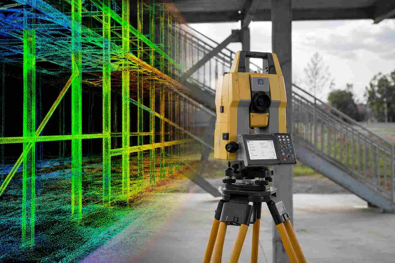
3D laser scanning survey

3D Laser Scanning

Professional 3D laser scanning services using advanced LiDAR technology to capture accurate point cloud data for engineering, BIM, and construction projects.

Building Surveys

Our experienced building surveyors deliver accurate measurements and detailed survey data to support construction, renovation, and development projects.

structural drawing

Structural Drawings

Structural drawings provide accurate construction details for foundations, beams, columns, slabs, and reinforcement, ensuring safe, efficient, and code-compliant project execution.

why choose us

Accurate Solutions With
Trusted Expertise

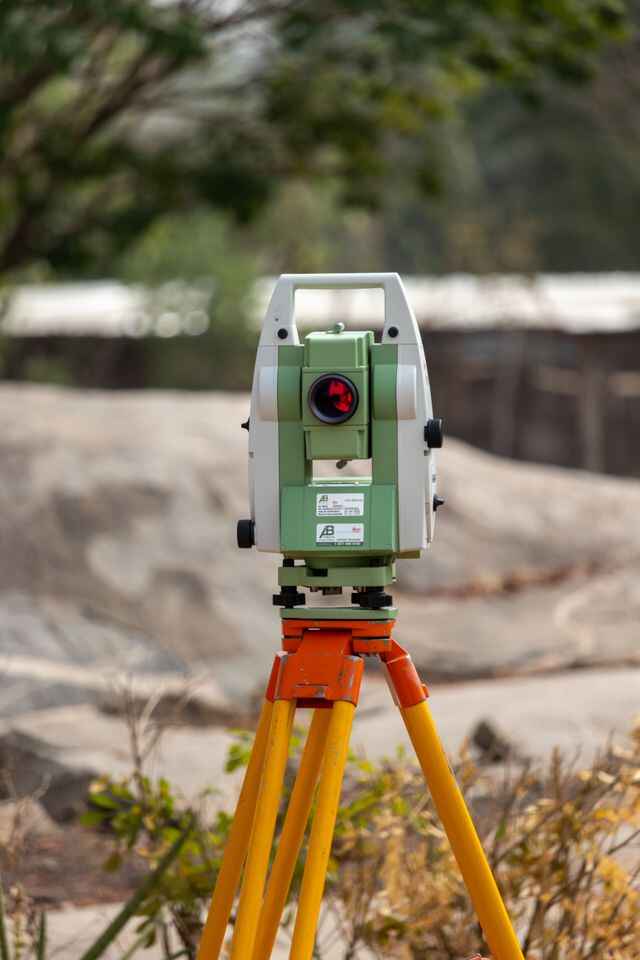
We combine advanced surveying technology with experienced professionals to deliver precise, reliable, and efficient geospatial solutions for every project.

Advanced Technology

We utilize modern surveying equipment and advanced technology to deliver highly accurate results.

Experienced Professionals

Our skilled surveyors and engineers provide reliable solutions backed by years of industry experience.

Accurate Data Results

Precise measurements and detailed survey data ensure confident planning and project execution.

Fast Project Delivery

Efficient workflows and expert teams help complete projects on time without compromising quality.

Topography Survey FAQ

1. What is a Topographic Survey?

A Topographic Survey measures and maps the natural and existing features of a site, including ground elevations, contours, buildings, roads, utilities, drainage systems, and vegetation. Using equipment such as GPS/GNSS receivers, Total Stations, and UAVs, the survey produces accurate data for planning, engineering design, and construction projects.

2. How accurate is a Topographic Survey?

The accuracy of a Topographic Survey depends on the survey method, equipment, and project requirements. Modern GPS/GNSS technology, Total Stations, and digital surveying instruments provide survey-grade accuracy, making the data suitable for engineering design, construction layout, earthwork calculations, and infrastructure development.

3. What is the difference between a Boundary Survey and a Topographic Survey?

A Boundary Survey identifies and marks legal property boundaries based on land records and title documents. A Topographic Survey records the physical characteristics of a site, including elevations, contours, structures, utilities, and natural features. While a boundary survey defines ownership limits, a topographic survey provides terrain information for planning and design.

4. Why is a Topographic Survey important before construction?

A Topographic Survey provides accurate site information before design and construction begin. It helps engineers and architects understand the terrain, existing utilities, drainage patterns, and elevation changes, allowing them to prepare practical designs, estimate earthwork quantities, and reduce construction risks and costly design modifications.

5. How long does a Topographic Survey take?

The duration of a Topographic Survey depends on the site size, terrain, accessibility, and site complexity. Small residential properties may be surveyed within a day, while larger commercial, industrial, or infrastructure projects may require additional fieldwork and data processing before the final survey deliverables are prepared.

6. What deliverables are provided after a Topographic Survey?

A completed Topographic Survey typically includes CAD drawings, contour maps, Digital Terrain Models (DTM), coordinate data, site plans, elevation information, and survey reports. The data can also be delivered in formats compatible with AutoCAD, Civil 3D, MicroStation, Revit, and GIS software for engineering and construction applications.

Get In Touch with Us Easy

Scroll to Top