
Control Point Establishment Services | Datum & Grid
Fixed reference points set using GNSS, Total Stations, and datum transfer, giving construction and engineering projects a reliable coordinate framework to build from.
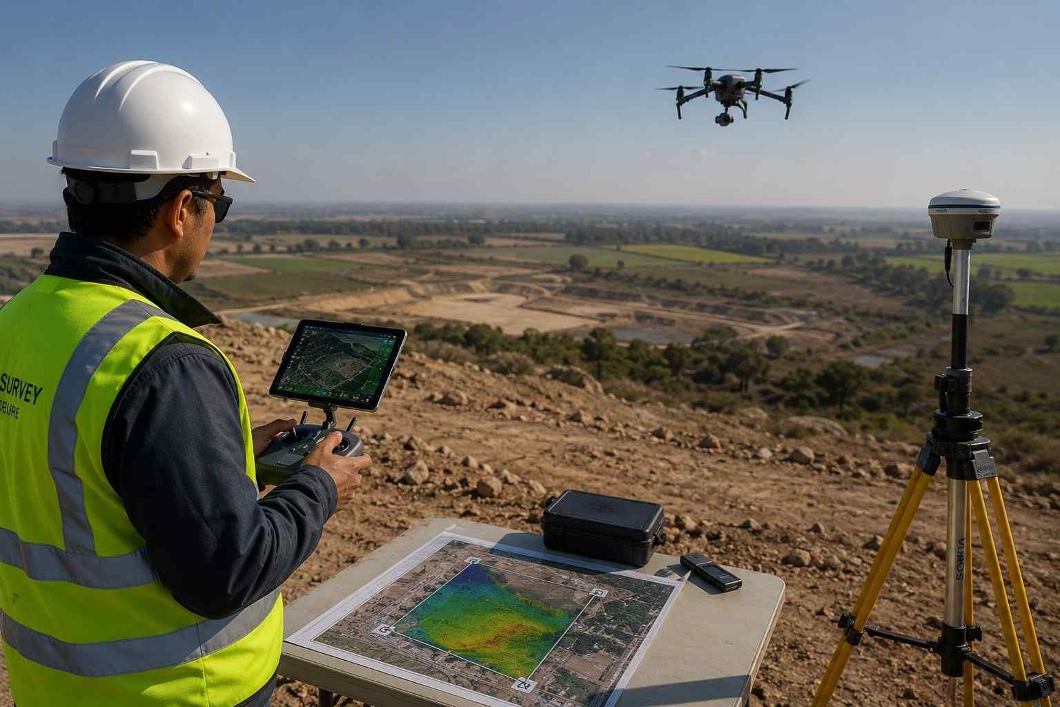
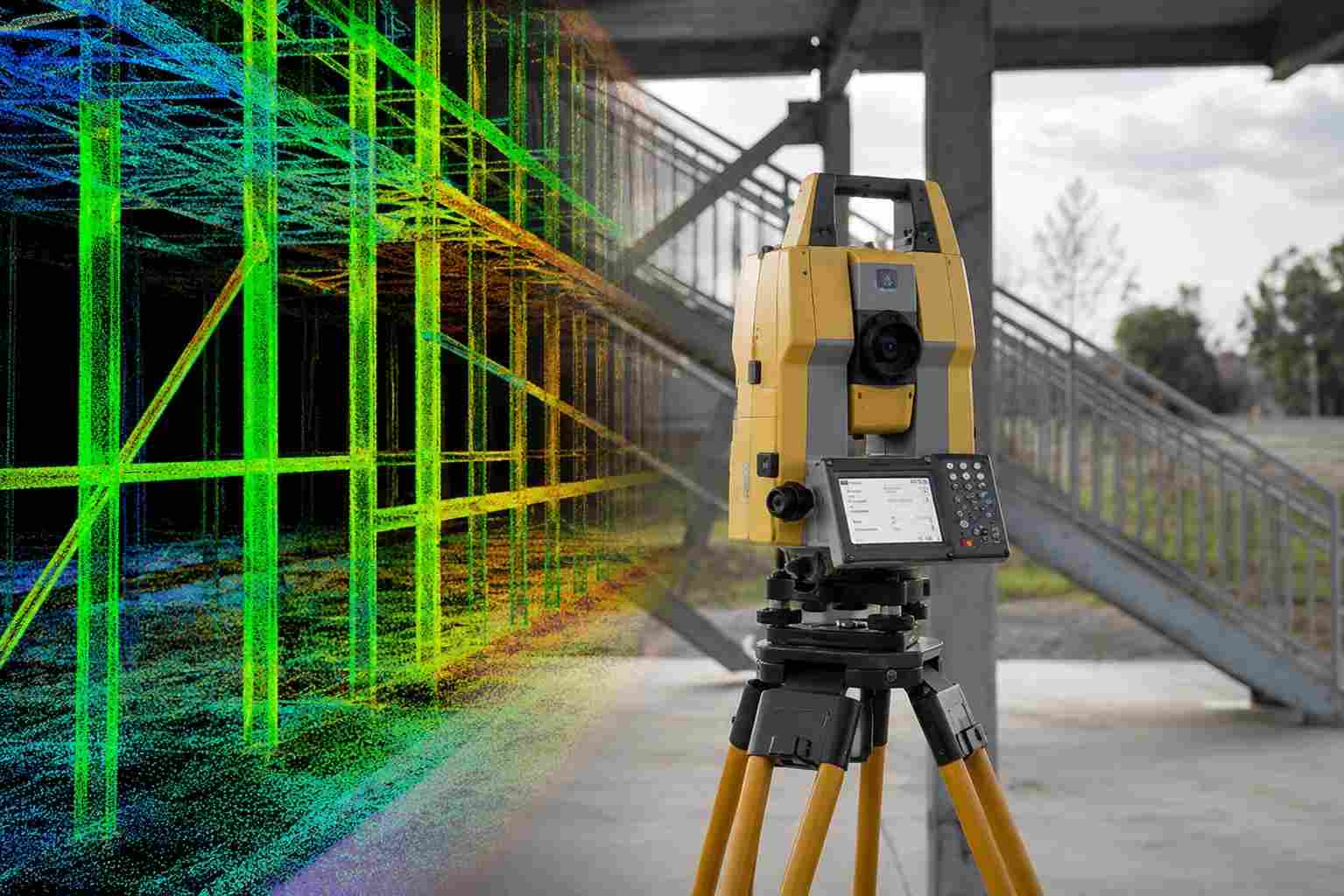
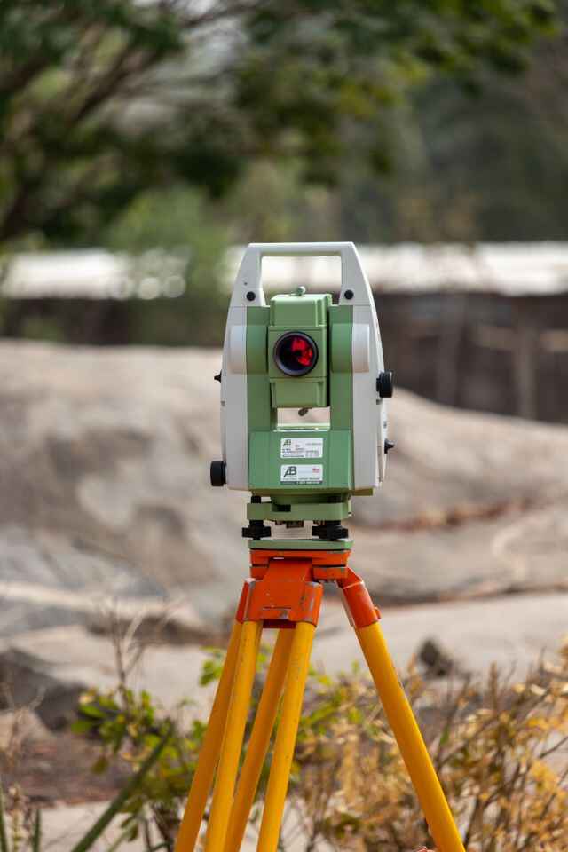
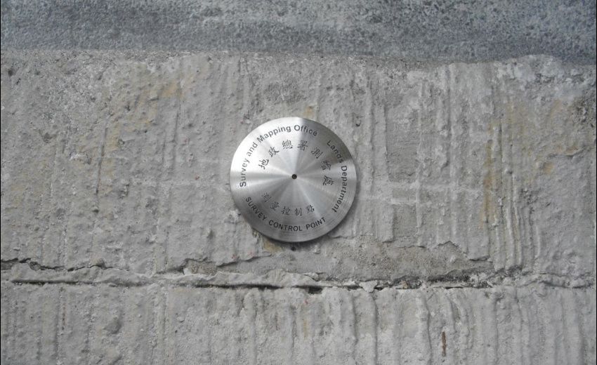
Control Point Establishment transfers approved benchmark coordinates onto the project site using GNSS, Total Stations, and standard geodetic methods. These fixed points anchor both horizontal and vertical control, giving construction layout, engineering surveys, and mapping work a single set of numbers to build from.
Each point gets verified through field observation before it’s signed off, and a coordinate report is issued alongside it so the numbers used for design, layout, and compliance never drift apart from one another.
OTHER SERVICES
why choose us
Accurate Solutions With
Trusted Expertise
We combine advanced surveying technology with experienced professionals to deliver precise, reliable, and efficient geospatial solutions for every project.
Advanced Technology
We utilize modern surveying equipment and advanced technology to deliver highly accurate results.
Experienced Professionals
Our skilled surveyors and engineers provide reliable solutions backed by years of industry experience.
Accurate Data Results
Precise measurements and detailed survey data ensure confident planning and project execution.
Fast Project Delivery
Efficient workflows and expert teams help complete projects on time without compromising quality.
Control Points FAQ
Fixed locations with known coordinates and elevation that everything else on site gets measured against, including construction layout, topo work, and mapping. All of it ties back to these points.
A benchmark only gives you elevation. It’s a vertical reference. A control point usually carries both horizontal coordinates and elevation, which is why it can anchor layout work that a benchmark alone can’t.
Because everything gets built off them. If a control point is wrong, that error carries into every wall, column, and utility line positioned from it, which is much more expensive to fix after the fact than getting the point right first.
Depends on the site. A small plot might only need two, set for convenience. Larger infrastructure jobs usually need a full network spread across the site so no crew is ever working too far from a known point.
Fewer layout errors, less rework, and a project where design, construction, and compliance are all reading off the same coordinates instead of three slightly different versions of “close enough.”
Coordinates get pulled from an existing benchmark or geodetic station, carried to site using GNSS and Total Stations, then checked through field observation before anything’s marked. Once confirmed, it gets documented so future surveys can tie back into the same network.