
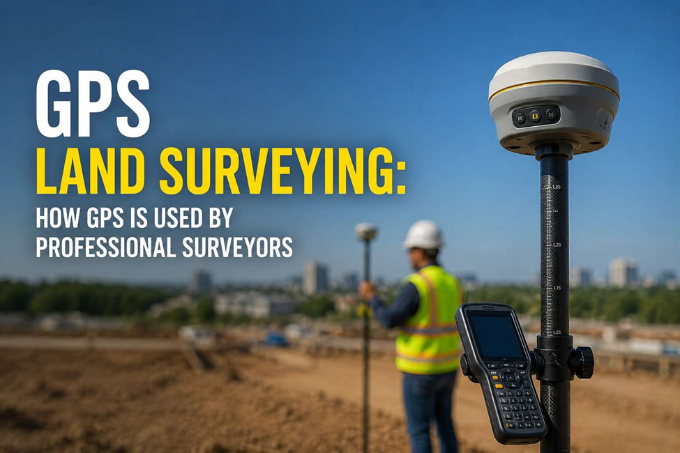
When people hear “GPS,” they usually think of maps and directions. Surveyors use the same satellite technology but for a very different job: locating points on the ground, checking elevations, and collecting precise coordinates for construction.
What Is GPS Land Surveying?
GPS land surveying uses satellite positioning equipment to pinpoint exact locations on the ground. A professional receiver is far more accurate than a phone’s GPS with RTK technology, surveyors can get centimetre-level accuracy.
A GPS survey typically gives you:
- Point coordinates and ground elevations
- Site control points and boundary locations
- Topographic and infrastructure points
- Setting-out points for construction
GPS for Land Surveyors: What Does It Actually Do?
Instead of moving one instrument from point to point, a surveyor carries a GPS rover across the site and collects points as they go. That’s the real advantage covering a large area without constantly repositioning equipment.
It works especially well for large plots, roads, open construction sites, infrastructure corridors, and earthwork surveys. But GPS isn’t perfect everywhere buildings, trees, and underground areas can block satellite signals. In those spots, surveyors switch to a Total Station instead.
How Does a GPS Survey Work?
It’s not just “turn on a receiver and go.” A proper GPS survey follows a process:
- Start from a known reference or control point
- Set up the base receiver or correction service
- Carry the rover to each point that needs measuring
- Receive live correction data for accuracy
- Record coordinates and elevations
- Check the results before they’re used for drawings or construction
That last step matters most a good GPS survey depends on the procedure, not just the equipment.
GPS Use in Surveying: Where Is It Used?
Topographic surveys — collecting ground points to map existing terrain, used for contours, site plans, and design data. We use both GPS and Total Station for this, depending on the site. See our topographic survey service.
Site control — establishing reliable reference points that the rest of a project’s survey work ties back to. Useful when several teams are working the same large site.
Construction setting out — taking design coordinates from drawings and marking them on the ground: road alignments, plot corners, foundations, utility routes. See our control points service.
Earthwork and level checks — comparing existing ground levels against design, for excavation, filling, and cut-and-fill tracking.
Roads and infrastructure — ideal for long linear projects like roads and pipelines, where setting up an instrument at every point isn’t practical.
Utility support — recording the surface position of utility features. For anything underground, GPS works alongside detection tools like GPR see our utility survey service.
GPS Device for Surveying
A survey-grade GPS system is really a full setup, not one gadget: a GNSS receiver, an RTK rover carried on a pole, a base receiver for corrections, and a field controller to record and check data on-site. Full details are on our survey equipment page.
GPS Survey Equipment Price: Why Does It Vary?
Two receivers can look identical but perform very differently. Price depends on things like RTK capability, how many satellite systems the receiver supports, accuracy level, and the software/correction service included.
One thing worth remembering: expensive equipment alone doesn’t guarantee a good survey. The surveyor still needs correct control points, the right coordinate system, and proper field checks the process matters as much as the device.
GPS Survey vs Total Station: Which One Is Better?
Neither they’re suited to different situations.
| GPS Survey | Total Station |
| Great for large open areas | Better where signals are blocked |
| No line-of-sight needed | Needs line-of-sight |
| Fast for wide-area coordinates | Best for detailed point accuracy |
| Ideal for site control & topo work | Ideal near buildings & structures |
Most professional projects actually use both, depending on the site conditions.
When Do You Need GPS Land Surveying?
- Developing a new plot or checking boundaries
- Running a large topographic survey
- Establishing site control before construction
- Working on roads or infrastructure
- Checking ground levels or earthwork progress
- Setting out design coordinates on-site
- Managing a multi-phase construction project
For smaller or obstructed sites, a different method may work better a professional surveyor can advise after seeing the site.
Need a Reliable GPS Survey Team?
Accurate Survey Work L.L.C. provides GPS, topographic, control, and setting-out surveys across the UAE.
Our surveyors use GNSS, RTK, Total Station, and established field procedures for construction-ready survey data.
