
Total Station Survey UAE | Survey Control & Setting Out

High-accuracy Total Station surveys for survey control, setting out, coordinate measurement, and topographic mapping across the UAE.

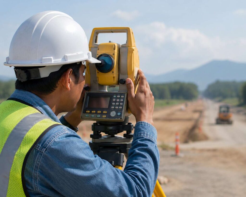
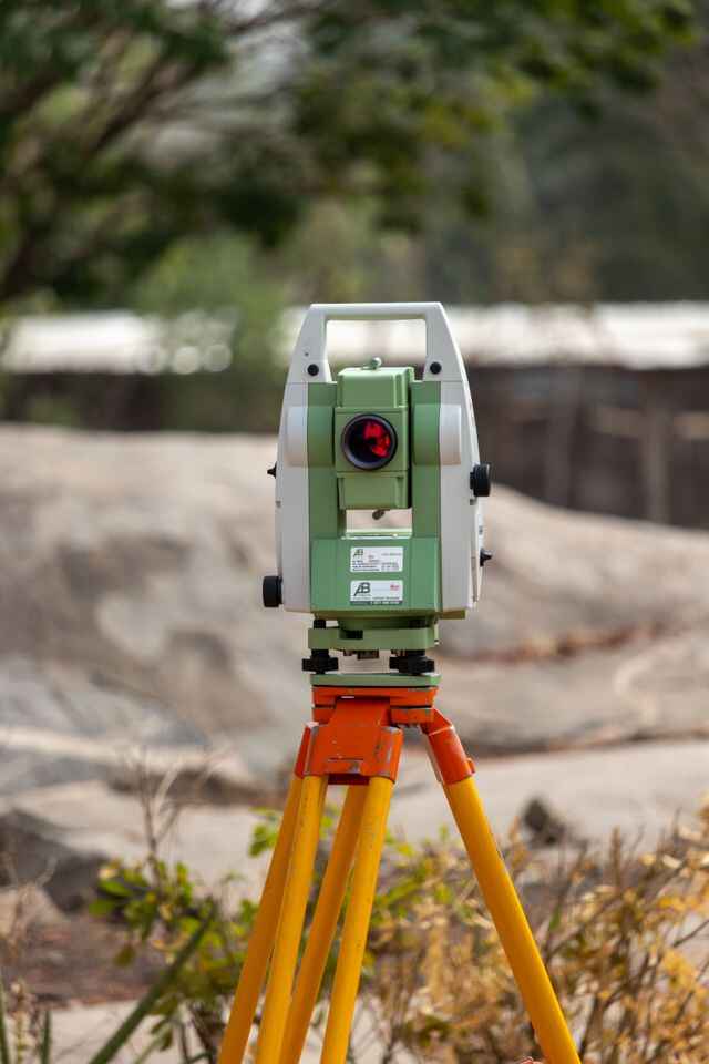
Every successful survey starts with accurate field measurements. Accurate Survey Work L.L.C. uses modern Total Station equipment to measure horizontal angles, vertical angles, distances, and coordinates with a high level of precision. The collected data forms the basis for engineering design, construction setting out, boundary verification, and site measurements.

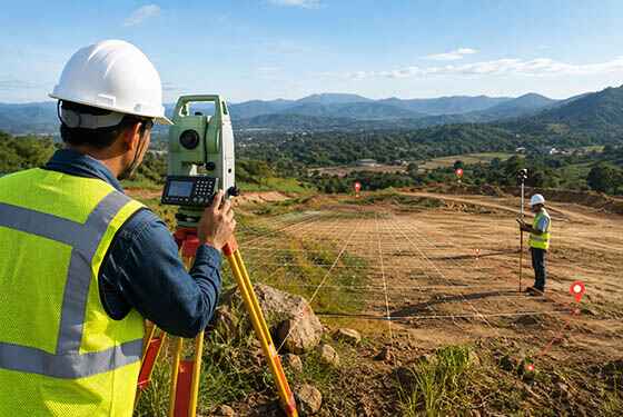
Total Station surveys are suitable for building layouts, road alignments, bridges, utility corridors, industrial facilities, and topographic mapping where precise positioning is required. The recorded field observations are processed into CAD drawings, coordinate reports, contour plans, and other engineering deliverables used by consultants, contractors, and developers.

Where larger sites require additional control, Total Station observations can be combined with GNSS surveying to establish accurate control points, while topographic surveys capture detailed ground features for planning and design. This combination delivers dependable survey data for projects of every scale across the UAE.

Our Services

Professional Surveying & Mapping Solutions

We provide accurate, reliable, and technology-driven surveying and mapping services that support construction, infrastructure, land development, and engineering projects across the UAE.

Topographical Land SurveY

Topographical Land Survey

Professional topographical surveys using Total Station and GPS technology to provide accurate terrain data for construction projects.
Building Surveys

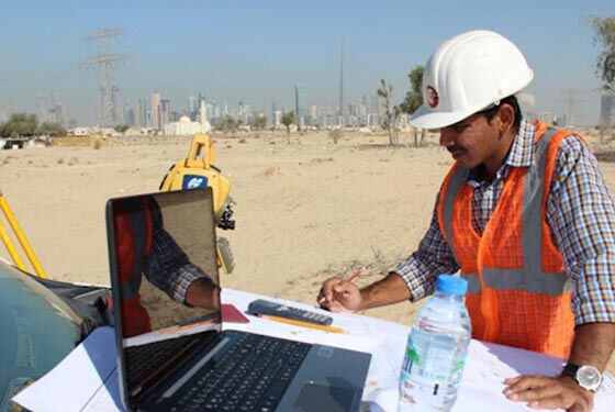
Our experienced building surveyors deliver accurate measurements and detailed survey data to support construction, renovation, and development projects.

GPS

GPS Surveys

GPS RTK units are highly effective tools for collecting precise positioning and elevation data across large open areas.

why choose us

Accurate Solutions With
Trusted Expertise

We combine advanced surveying technology with experienced professionals to deliver precise, reliable, and efficient geospatial solutions for every project.

Advanced Technology

We utilize modern surveying equipment and advanced technology to deliver highly accurate results.

Experienced Professionals

Our skilled surveyors and engineers provide reliable solutions backed by years of industry experience.

Accurate Data Results

Precise measurements and detailed survey data ensure confident planning and project execution.

Fast Project Delivery

Efficient workflows and expert teams help complete projects on time without compromising quality.

Total Station FAQs Questions

1. What accuracy can a Total Station achieve on site?

A modern Total Station typically measures angles to within 1–5 arc-seconds and distances to within 2mm ± 2ppm using its integrated EDM (electronic distance measurement). Actual field accuracy also depends on prism setup, atmospheric correction, and the length of the traverse.

2. How is a Total Station different from GNSS for site survey work?

A Total Station measures angles and distances from a fixed instrument station using line-of-sight to a prism, which makes it ideal for confined sites, under structures, or where satellite signal is obstructed. GNSS relies on satellite positioning and works better for open sites needing rapid coverage. Most projects use both, with Total Station tied into GNSS-established control points.

3. What is "setting out" in a Total Station survey?

Setting out is the process of transferring design coordinates from a drawing onto the physical site, marking column positions, grid lines, road centrelines, or utility alignments so construction crews can build to the exact design location.

4. Can Total Station data be used for as-built and topographic surveys?

Yes. The same instrument captures ground shots, structural features, and existing utilities, which are then processed into contour plans, cross-sections, and as-built drawings for comparison against the original design.

5. Does Total Station survey work require a fixed benchmark or control point?

Yes. Every Total Station survey is tied to an established benchmark or control network with known coordinates and elevation, so all measurements stay consistent with the site’s reference datum and can be cross-checked against previous or future surveys.


Get In Touch with Us Easy

Scroll to Top