
Ask three project teams why they ordered a LiDAR scan and you will get three answers. One wanted drawings for an old building. One was tired of site measurements that never matched. One simply heard it was the modern way.
Only some of those are good reasons. This guide will help you decide if LiDAR fits your project, and what to sort out before the scanner arrives.
What is LiDAR
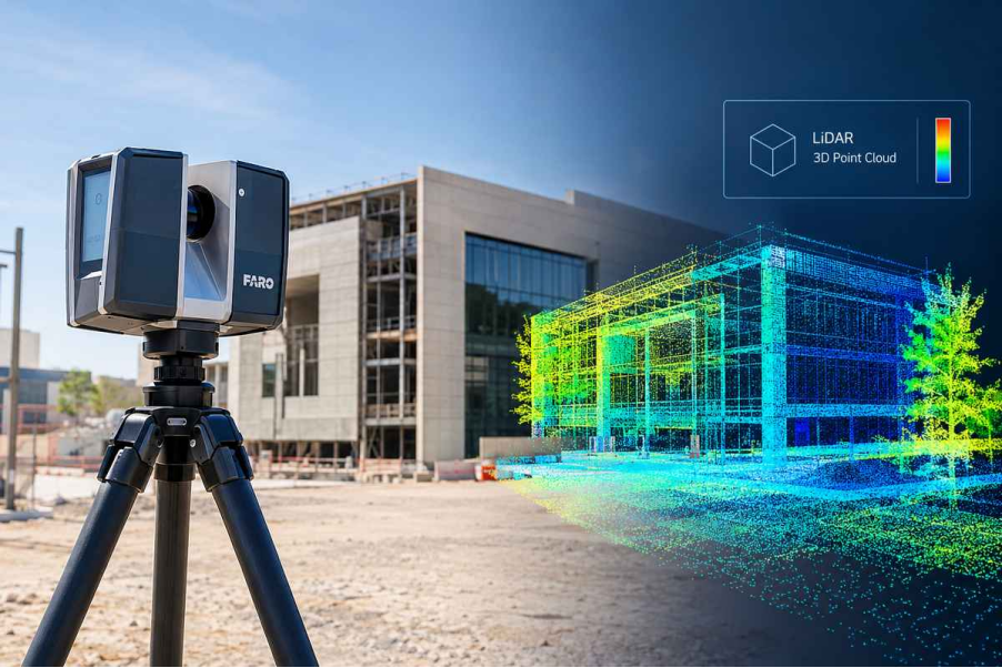
LiDAR fires laser pulses at everything around it and times how long each one takes to come back. That time becomes a distance. Do this millions of times and you get a point cloud, which is a 3D copy of the site made of tiny measured dots.
Think of it as a photograph you can take measurements from. If you want the step-by-step field process, our 3D laser scanning workflow page covers it. Here we are looking at the decision, not the procedure.
What LiDAR Captures Best
- Walls, floors, ceilings and columns
- Pipes, ducts, cable trays and plant equipment
- Building facades and roof shapes
- Roads, kerbs, bridges and open ground
- Awkward shapes that are slow to measure by hand
The Blind Spots: What LiDAR Cannot See
This part surprises many clients.
- Anything hidden. The laser needs a clear line of sight. It cannot see behind a wall, above a false ceiling or inside a closed shaft.
- Anything underground. Buried pipes and cables need a different method. That is the job of a utility survey.
- Some tricky surfaces. Glass, mirrors and very shiny metal can confuse the laser.
- Anything blocked on scan day. Parked vehicles, stacked materials and scaffolding leave gaps in the data.
If a scan is planned with these limits in mind, they are easy to manage. If nobody mentions them, you find the gaps after the team has left site.
Clear Signs Your Project Needs LiDAR
LiDAR is worth the effort when:
- The existing drawings are old, missing or clearly wrong
- The building has been altered many times over the years
- The site is crowded with pipes, equipment or structure
- Your designers need many dimensions and cannot revisit site often
- Access is difficult, so you want everything captured in one visit
- You want a permanent digital record before work starts
- You plan to build a BIM model later (see scan to BIM)
Conclusion
LiDAR is a strong tool when a site is complex, poorly documented or hard to measure by hand. It is not magic. It sees only what it can reach, and its value depends on good planning and clear deliverables.
Decide what you need first, prepare the site, and ask the right questions. Do that, and the scan will save you time instead of adding confusion. If you would like advice on the right method for your project in Abu Dhabi, get in touch with our team.
LiDAR FAQs:
Can LiDAR see through walls?
No. It only records surfaces it can reach with a clear line of sight. Hidden areas need to be opened up or measured another way.
Can LiDAR find underground utilities?
No. LiDAR captures visible surfaces only. Buried services need a dedicated utility survey.
Is a drone survey the same as LiDAR?
Not exactly. A drone is the platform and LiDAR is one type of sensor it can carry. Drones can also take photos for mapping without using LiDAR.
Do I need LiDAR for a small villa?
Not always. If the drawings are reliable and the work is simple, normal survey tools may be enough. LiDAR helps more when the building is altered, complex or poorly documented.
Is a point cloud the same as a drawing?
No. A point cloud is raw measured data. It becomes a drawing or model only after someone works from it. You can read more about that on our CAD services page.
What should I give the survey team before the scan?
Share the purpose of the survey, any old drawings, the areas that matter most and access details. This helps the team plan scan positions properly.
Does LiDAR replace a traditional survey?
Not in most cases. It usually works together with control points, GPS and total station work.
