Aerial Mapping in Abu Dhabi: Turning Aerial Data into Clear Project Insights
Large project sites are difficult to understand when teams collect information only from ground level. Roads, open land, construction areas

Large project sites are difficult to understand when teams collect information only from ground level. Roads, open land, construction areas
A drawing can show exactly where a column, wall or footing belongs. It can’t tell the crew on site where
Picture a ceiling void on a project in Abu Dhabi. The structural beam is in the drawings. The duct is
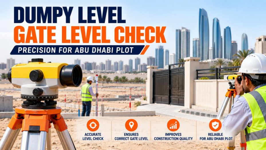
Every building on a new plot takes its height from one number: the gate level. The driveway, the boundary wall,
If you have worked on a levelling job, you have probably wondered which instrument to take: the dumpy level or
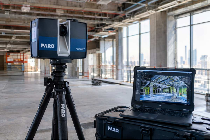
When you need to measure an existing building, industrial facility or construction site in detail, conventional methods often fall short.