
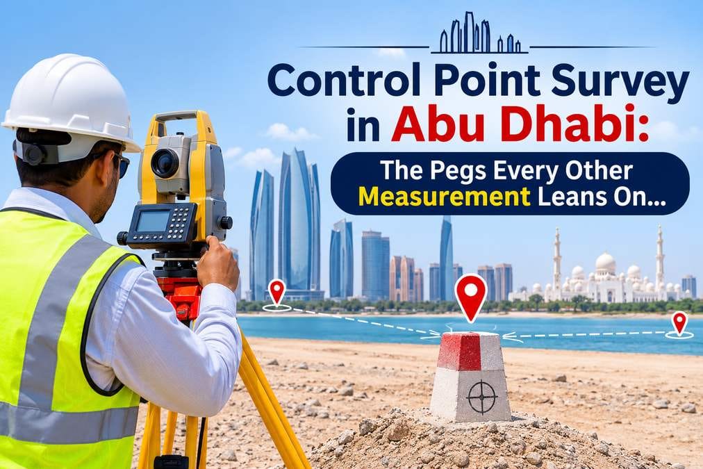
Walk onto any construction site in Abu Dhabi and you will pass small marks that nobody looks at twice. A steel pin in a kerb. A nail in a slab with a ring of red paint. A numbered plate on a short concrete pillar by the gate. They look minor. Yet every wall, road edge and pile on that site takes its position from them.
These marks are control points. When they are right, the whole project fits together. When they are wrong, each crew builds from a slightly different truth, and the mistake only shows up months later, when two parts that should meet do not.
This guide explains what a control point is, how surveyors set one, and how to keep it reliable from the first day on site to handover. We keep the language plain and save the technical detail for the places where it matters.
What Is a Control Point in Land Surveying?
A control point is a marked spot on the ground with coordinates that someone has measured very carefully. It works like a fixed address. Every later measurement on the project refers back to it.
An ordinary survey point does the opposite job. It records something, such as a kerb edge, a manhole cover or the corner of a building. A control point records nothing about the site. Instead, it tells the surveyor exactly where the instrument stands before the real measuring begins.
You will also hear the word benchmark. A benchmark gives height only. A control point usually gives position, meaning an easting and a northing, and many also carry a level. On site, one pin often does both jobs.
Why Every Survey Starts From a Known Position
A total station measures angles and distances from the spot where it stands. However, it does not know where that spot is until you tell it. A GNSS receiver does give a position, but the result is only as good as the reference behind it. So every instrument needs control first.
Picture two crews working on the same building. Each starts from its own set of pegs, and those pegs disagree by a small amount. Both crews measure well. Even so, the pieces do not line up when they meet. A shared control network removes that problem, because everyone starts from the same truth.
Good control gives a project three things:
- Consistency. A survey from March and another from September still match.
- Traceability. Anyone can find a point again and check it.
- Agreement. The consultant, the contractor and the authority all check the setting out against the same reference.
Even a simple topographic survey depends on this base. If the control is weak, the contours, levels and boundaries drawn from it carry that weakness into every drawing.
Horizontal and Vertical Control: Where a Point Sits and How High It Is
Horizontal control fixes the position of a point on the map. Vertical control fixes its height above a chosen datum. The two use different methods, so treat them as two separate questions.
Surveyors usually fix horizontal control with GNSS or with a traverse, which is a chain of total station set-ups from point to point. For height, they run a line of levels between points. They often prefer levelling because GNSS heights carry more uncertainty than GNSS positions. A level line that closes back on its starting point also shows its own error, which is a big advantage. Optical levels such as the dumpy level and the auto level still do much of this work.
Here is a habit worth copying. Record horizontal and vertical quality separately in your control register. A point can be excellent for position and poor for height. If the register says so, the crew knows which value to trust.
Types of Control Points Used on Abu Dhabi Projects
Surveyors work from the whole to the part. They set a small number of very accurate points first. Then they add lower-order points that depend on the first ones, never the other way round. On a typical project, that gives four types.
Permanent control. A concrete pillar or a disc set deep in concrete. It sits outside the construction footprint and has to survive the entire project. Surveyors give these points the best observations.
Site control. Steel pins, nails in stable slabs or marks in rock, placed in a ring around the work area. Crews use these every day, so they need clear numbers and easy access.
Working points. Stakes, nails and paint marks for short jobs such as marking out a footing. Expect to lose a few. Surveyors derive them from site control and replace them as often as needed.
Ground control points. Targets laid on the ground and observed with GNSS, so that an aerial photo or a scan lands in the right place. A drone mapping project uses them to tie its images to the ground. A 3D laser scanning job uses control to join separate scanner set-ups into one model.
How Surveyors Establish a Control Point on Site
Good control starts with a walk, not an instrument. First, the surveyor studies the drawings and walks the plot. The aim is to learn where excavations, cranes, haul roads and stockpiles will go. Control placed in any of those zones will not last.
Next comes the choice of position. These rules save a lot of trouble later:
- Place at least three points, so that each one can see another.
- Keep the sky open above GNSS points. Tall buildings, metal fences and parked trucks reflect satellite signals and spoil the result.
- Spread the points around the site instead of lining them up along one edge.
- Put them close to the areas where crews work, so nobody has to carry control a long way.
- Choose firm ground away from traffic.
Then the point gets marked. Abu Dhabi soil is often loose sand, and a stake driven into sand is not control. Surveyors set steel pins into concrete, cast a pillar with a proper footing, or use a stable slab. After that, the point gets a number, a ring of paint and a photograph.
Observation comes next. For GNSS, the surveyor ties the points to the reference network and observes each one at least twice, ideally at different times of day so the satellite geometry changes. Our guide to surveying in GPS explains how that works. When the site is tight or the sky is blocked, a traverse does the job instead, and the comparison of total station and GPS surveying shows when to switch. For heights, the surveyor runs a loop that closes on its start or lands on a second known benchmark.
A small tip from the field: heat shimmer ruins long total station sights in the middle of an Abu Dhabi summer day. Early morning and late afternoon give steadier readings.
Finally, the surveyor computes the results, compares the misclosures with the project specification and adjusts the network. Every point then gets a record sheet with its number, coordinates, level, description, photo, date and method.
Tying Site Control to the Abu Dhabi Coordinate System
A site can run on its own local grid, and many small jobs do. However, the moment you need to overlay a plot boundary, an authority drawing or a service line, that local grid stops working. Official data sits in the official system, so site control has to connect to it.
The Abu Dhabi reference network makes that connection possible. According to Abu Dhabi City Municipality, 36 reference cadastral stations cover the emirate and run around the clock. The network has operated since 2008, and more than 500 engineering companies use its outputs for buildings, roads and service lines. The municipality also reports that it now uses GPS receivers instead of traditional devices to fix horizontal control coordinates.
Before you tie anything to that network, settle three points:
- Ask which coordinate system and height datum the project calls for, and write both on the control sheet.
- Take any transformation parameters from the specification or the authority. Never guess them.
- Keep one system per project. A grid mix-up is easy to make and expensive to fix.
One more detail catches people out. A distance measured on the ground does not exactly equal the same distance on the grid. On a single plot, the gap stays tiny. Along a long road or pipeline, it adds up, so the surveyor applies a scale factor. Plot boundaries and gate level computation also depend on the right reference, so confirm the system before any gate level work starts.
Checking, Adjusting and Protecting Control Through the Life of a Project
Check first, trust second. Before anyone uses new control, measure the distances between neighbouring points and compare them with the distances from the coordinates. Check at least one angle. Level between two benchmarks and see whether the heights agree. If a check fails, stop and find the reason. Never nudge a coordinate to make it fit.
Adjustment comes next. When a loop does not close perfectly, the surveyor spreads the small error fairly across all the observations. Dumping it on the last point hides the problem and moves it somewhere else.
Control also needs re-checking, because ground moves. Sandy, reclaimed or soft ground can settle. Piling next door and deep excavations can push points sideways or down. So re-observe the control before each major setting out stage, such as foundations, piling and slabs. Re-observe it, too, after anything that could have disturbed a point. Then compare the new values with the original ones.
Protection takes little effort and saves a lot. Paint the points in a bright colour. Put a stake or a small barrier beside them. Brief every foreman on what a control mark looks like, and ask the crew to report before they move or cover one. Plan replacement points before a demolition or an excavation takes the old ones away.
When a point does disappear, rebuild it from at least two surviving points. Record the date, the method and the new value. Do not reuse the old number without a note, because someone may still hold a drawing that quotes the old coordinates.
Finally, hand the control report to the client at the end of the job. Future surveyors will pick up the same points for as-built surveys and extensions.
Conclusion
Control points rarely get attention, yet they decide whether a project fits together. Choose stable positions, observe them twice, tie them to the official system, check them before use and protect them until handover. Do those five things, and every later measurement gets easier.
Accurate Survey Work L.L.C. establishes, checks and documents control for construction, infrastructure and land projects across Abu Dhabi. If you are planning a site, talk to us about a control point survey before the first setting out begins.
Frequently Asked Questions
What is the difference between a control point and a benchmark?
A benchmark gives height only. A control point gives position and often a level too.
How many control points does a site need?
Set at least three that can see one another. Larger or longer sites need more, and the right number depends on the shape of the site and the work planned.
Can GPS alone establish control?
It can fix horizontal position when the sky is open. For height and for tight tolerances, check the result with levelling or a total station.
How often should control be re-checked?
Re-check before each major setting out stage and after any event that could move a point, such as excavation, piling or a vehicle strike.
What should I do if a control point is destroyed?
Rebuild it from at least two surviving points, record the change and tell everyone who uses the control.