Professional Land Survey Services in Abu Dhabi, UAE
Professional land survey services using GNSS RTK, Total Stations, and UAV technology to deliver accurate engineering survey data across Abu Dhabi and the UAE.
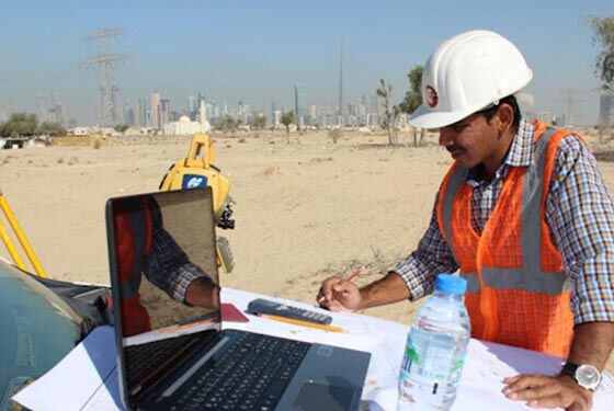
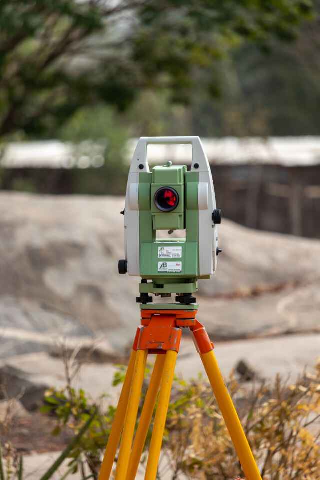
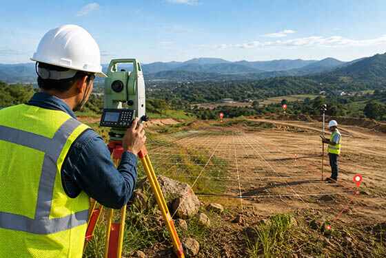
Accurate Survey Work L.L.C provides professional land survey services across Abu Dhabi and the UAE, delivering reliable geospatial data for construction, infrastructure, engineering, and development projects. Our licensed surveyors use advanced GNSS RTK, robotic Total Stations, UAV drone mapping, and digital surveying technology to capture precise coordinates, elevations, boundaries, and topographic data for residential, commercial, industrial, and government projects.
Every survey is carried out in accordance with recognised engineering standards and Abu Dhabi Municipality requirements, ensuring accurate measurements, quality-assured survey data, and dependable deliverables that support planning, design, construction, and project approvals.
OTHER SERVICES
why choose us
Accurate Solutions With
Trusted Expertise
We combine advanced surveying technology with experienced professionals to deliver precise, reliable, and efficient geospatial solutions for every project.
Advanced Technology
We utilize modern surveying equipment and advanced technology to deliver highly accurate results.
Experienced Professionals
Our skilled surveyors and engineers provide reliable solutions backed by years of industry experience.
Accurate Data Results
Precise measurements and detailed survey data ensure confident planning and project execution.
Fast Project Delivery
Efficient workflows and expert teams help complete projects on time without compromising quality.
Land Survey Services FAQ
Professional land surveyors use advanced surveying equipment including GNSS RTK receivers, robotic Total Stations, digital levels, UAV drone mapping systems, terrestrial laser scanners, and survey-grade GPS technology. The equipment selected depends on project requirements, site conditions, required accuracy, and engineering specifications
A land survey determines property boundaries, control points, coordinates, and legal measurements. A topographic survey records ground elevations, contours, slopes, existing structures, roads, drainage systems, vegetation, and utilities. Topographic surveys provide essential information for engineering design, construction planning, and infrastructure development.
Earthwork quantities are calculated by comparing existing ground levels with proposed design surfaces. Survey data collected using GNSS RTK, robotic Total Stations, or UAV drone surveys is processed into Digital Terrain Models (DTM), allowing engineers to accurately calculate excavation volumes, fill quantities, grading requirements, and material estimates for construction projects.
Yes. Most construction and development projects require surveys completed by licensed surveying professionals in accordance with Abu Dhabi Municipality and relevant authority requirements. Accurate survey data supports planning approvals, engineering design, construction permits, and project compliance.
The duration of a land survey depends on the project size, site conditions, accessibility, and the type of survey required. Small residential surveys may be completed within a day, while large commercial, industrial, or infrastructure projects can take several days or longer. After fieldwork is completed, the collected survey data is processed, verified, and prepared into engineering deliverables such as CAD drawings, topographic maps, coordinate reports, and other project-specific documentation before final submission.