
Bathymetric Survey UAE | Hydrographic Survey Services

Professional bathymetric survey services providing accurate underwater mapping, depth measurements, and seabed data for marine construction, ports, dredging, and infrastructure projects across the UAE.

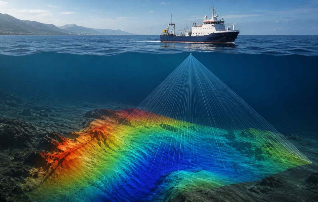
A bathymetric survey measures the depth and shape of a waterbody’s floor, mapping underwater features to produce accurate charts for navigation, dredging, and marine construction planning. It is an essential first step for projects involving ports, channels, marinas, pipelines, and coastal infrastructure.

Our bathymetric surveys are carried out using a survey vessel equipped with an echosounder and transducer, which transmit sound waves to the seabed and measure the return time of the echo to determine water depth. This data is integrated with GNSS positioning to accurately map every measurement.

For shallow water, restricted access areas, or projects requiring rapid data collection, we also provide drone-based bathymetric LiDAR surveys. This method efficiently captures seabed and shoreline data, offering a practical and cost-effective alternative to conventional vessel-based surveys.

Bathymetric Survey

Our bathymetric survey services support:

  • Port and harbour development
  • Dredging and channel maintenance
  • Marina and coastal construction
  • Pipeline and cable route surveys
  • Navigational chart production
  • Obstruction and hazard detection

Survey data is processed into project-ready deliverables, including bathymetric charts, digital terrain models (DTMs), depth contour maps, and GIS-compatible datasets. These deliverables provide engineers, marine consultants, and contractors with accurate seabed information for planning, design, dredging operations, navigation, and marine infrastructure development.

OTHER SERVICES

Topographical Land SurveY

Topographical Land Survey

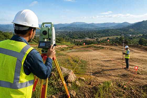
Professional topographical surveys using Total Station and GPS technology to provide accurate terrain data for construction projects.
Building Surveys

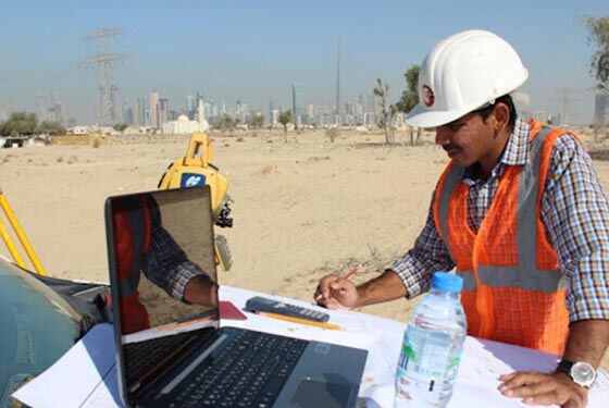
Our experienced building surveyors deliver accurate measurements and detailed survey data to support construction, renovation, and development projects.

GPS

GPS Surveys

GPS RTK units are highly effective tools for collecting precise positioning and elevation data across large open areas.

why choose us

Accurate Solutions With
Trusted Expertise

We combine advanced surveying technology with experienced professionals to deliver precise, reliable, and efficient geospatial solutions for every project.

Advanced Technology

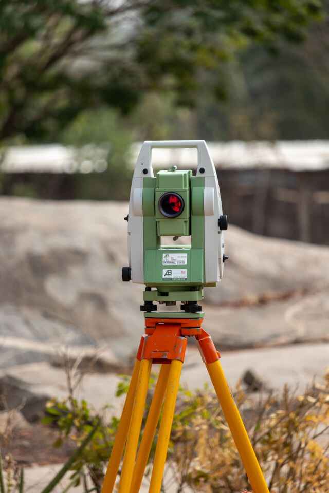
We utilize modern surveying equipment and advanced technology to deliver highly accurate results.

Experienced Professionals

Our skilled surveyors and engineers provide reliable solutions backed by years of industry experience.

Accurate Data Results

Precise measurements and detailed survey data ensure confident planning and project execution.

Fast Project Delivery

Efficient workflows and expert teams help complete projects on time without compromising quality.

Bathymetric Survey FAQ

1. What is a bathymetric survey used for?

It’s used to map the depth and features of a waterbody’s floor, supporting dredging, port development, navigation safety, and marine construction planning.

2. How is bathymetric survey data collected?

Data is typically collected using an echosounder mounted on a survey vessel, linked to GNSS positioning for accurate location, or using drone-based LiDAR for faster aerial coverage in shallow or restricted areas.

3. When is a drone bathymetric survey used instead of a boat survey?

Drone surveys are useful in shallow water, hard-to-access areas, or where a fast turnaround is needed, offering a quicker and often more cost-effective alternative to vessel-based surveys.

4. What deliverables are provided after a bathymetric survey?

Deliverables typically include bathymetric charts, depth contour maps, digital terrain models, and GIS-compatible datasets for use in engineering and planning software.

5. Is a bathymetric survey required for port or marina construction?

Yes, accurate seabed depth data is essential for engineering design, dredging planning, navigation safety, and regulatory approval before marine construction begins.

6. How accurate is bathymetric survey data?

With GNSS-linked echosounder or LiDAR systems, depth measurements are typically accurate to within a few centimeters, meeting the precision required for dredging and engineering design

Get In Touch with Us Easy

Scroll to Top