Utility Survey
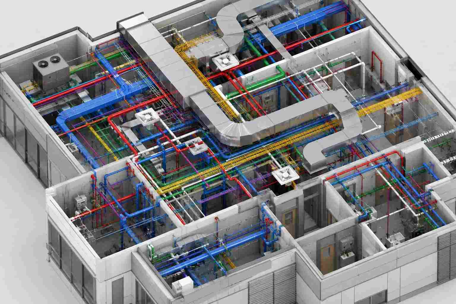
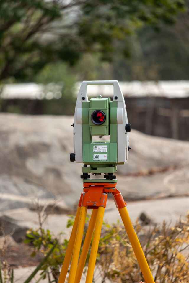
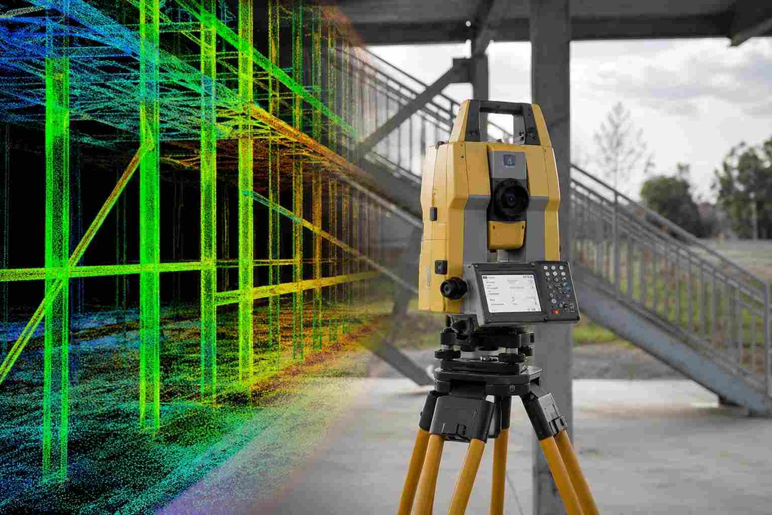
Survey for the utility installation is essential. Assistance of the survey from start to end is keeping a utility its own location at exact elevation. The survey is divided as three stages. Pre-construction – construction – As built. Different kind of instruments are using for the survey as per the site situation and requirement.
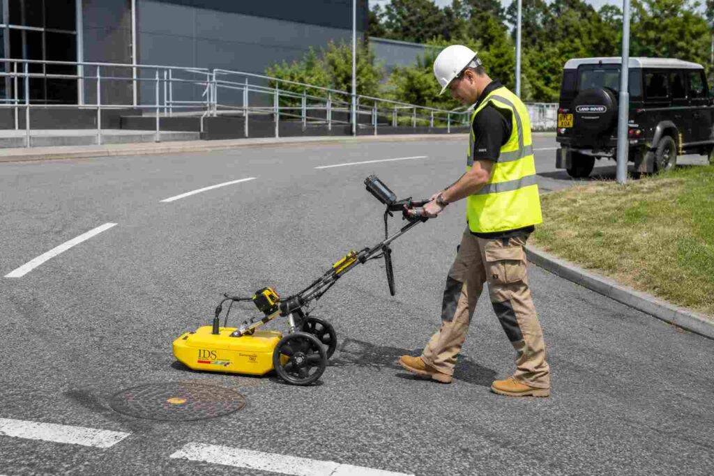
The role of the surveyor in this field includes in the Designing, implement- ing, Inspection with designated bodies and collecting the exact data as con- structed at site. This survey not only cover the construction of utility but also Trial Trench details, Bore hole details, Setting-out of high raised structures, Dilapidation Survey etc… During the survey some kind of underground can be traced with detectors and ground penetrating RADAR.
Utility Survey FAQ
A utility survey is a technical investigation method used to locate, identify, and map underground services before construction or excavation activities. It provides details about the position, depth, and alignment of buried utilities such as water pipelines, electrical cables, communication lines, and drainage systems to support safe project planning.
A utility survey is generally carried out in three stages: pre-construction survey, construction survey, and as-built survey. The pre-construction stage identifies existing underground services, the construction stage supports setting-out and installation activities, and the as-built stage records the final location of installed utilities for future reference.
The purpose of a utility survey is to collect accurate underground information before excavation and infrastructure work. It helps engineers and contractors understand existing site conditions, avoid utility conflicts, improve excavation safety, and support accurate design and construction decisions.
Underground utilities are detected using specialized equipment such as Ground Penetrating Radar (GPR), electromagnetic cable locators, GNSS surveying systems, and total stations. These instruments help identify the location, depth, and alignment of buried services with minimal disturbance to the ground.
Customers require utility surveys to reduce risks associated with unknown underground services. The survey information helps project owners, engineers, and contractors plan excavation activities, prevent damage to existing utilities, reduce project delays, and maintain site safety.
Utility surveys use a combination of non-destructive detection and conventional surveying techniques. Common methods include GPR scanning, electromagnetic induction, trial trench investigation, topographic survey integration, and CAD-based utility mapping to create detailed underground service records.