
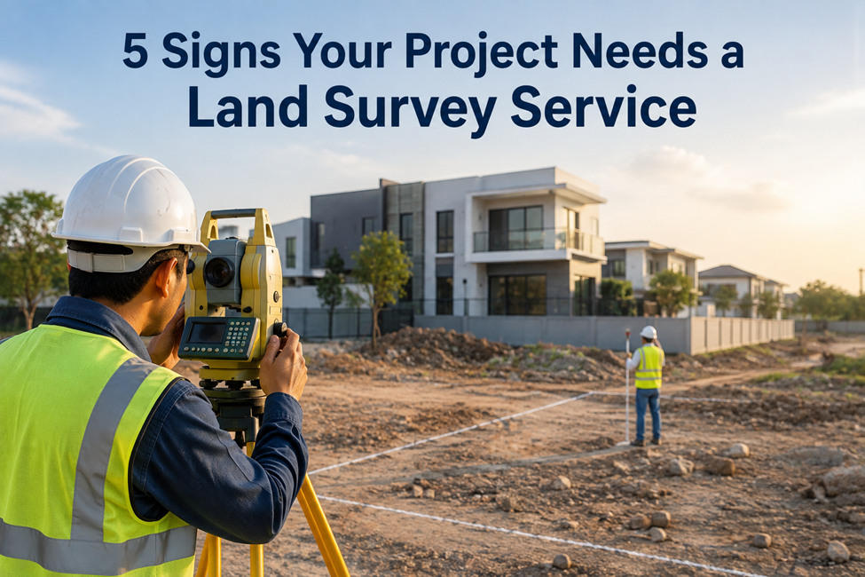
Most people don’t think about a land survey until something’s already gone wrong a permit gets rejected, a wall lands a meter off, or a neighbor shows up with a complaint. By then you’re paying for a survey anyway, just with a delay and a redesign attached. Here are five situations where the survey should have happened weeks earlier.
1. Your Title Deed and the Physical Site Don’t Quite Match Up
This shows up more often than you’d expect, especially on older plots or land that’s changed hands a few times. The paperwork says one dimension, the fence line on the ground says another. Sometimes it’s a few centimeters, sometimes it’s a real discrepancy that eats into your buildable area.
A survey resolves this before you’ve committed to a design. Finding out after your architect has finalized drawings means redoing the layout finding out before means adjusting a plan that hasn’t been built yet.
2. You’re Building Near an Existing Boundary Wall or Neighboring Plot
If your build sits close to a shared boundary, “close enough” isn’t good enough. Walls, foundations, and setbacks all need to sit inside your legal limit, not your estimate of it. We’ve seen projects where a boundary wall built decades ago doesn’t actually sit on the surveyed line it’s just where someone put it at the time.
Get the corners verified and marked before excavation starts near a shared edge. It’s a lot cheaper than a dispute with the plot next door, or a demolition order after the fact.
3. The Land Has Changed Hands (or Sat Vacant) Since It Was Last Surveyed
Bought a resale plot? Inherited land that’s been sitting for years? Don’t assume the last survey still holds. Pegs get disturbed by landscaping or nearby construction, records get updated, and a plot that was subdivided since the original survey won’t have its new lines physically marked on the ground at all.
Old survey data is a starting point, not a guarantee. If you can’t confirm when the last verified survey was done or if it predates any nearby construction treat it as due for a fresh check.
4. Your Architect or Engineer Is Asking for Levels You Don’t Have
If your design team keeps circling back asking for elevation data, ground levels, or contour information, that’s usually a sign the topographic groundwork hasn’t been done yet. Slope, drainage direction, and existing ground levels all shape a foundation design guessing at them is how you end up with drainage problems after the concrete’s already poured.
This is where a topographic survey earns its cost. It gives your engineer real numbers instead of assumptions, before those assumptions get built into structural calculations.
5. You’re Planning Utilities, Excavation, or Foundation Work on Unmapped Ground
Walking a site and looking at it isn’t the same as knowing what’s underground. Existing utility lines, buried cables, old pipework from a previous structure none of that shows up from the surface. Excavating without that map is how contractors hit a line they didn’t know was there, which stops work entirely until it’s resolved.
A utility survey before you break ground turns an unknown into a marked-up plan your excavation crew can actually work from.
What Happens If You Skip It
The pattern’s usually the same: a permit application gets sent back because the submitted coordinates don’t reconcile with municipal cadastral records, or construction gets partway through before someone notices the setback is wrong. Either way, you’re now paying for the survey you skipped, plus the redesign, plus the delay. The survey was never optional — skipping it just moves the cost to a worse point in the project.
Land Survey Companies in the UAE: What to Actually Look For
The UAE’s construction pipeline hasn’t slowed down Dubai Municipality reported over 10,700 building permits issued in Q1 2026 alone, a 12% jump from the same quarter the year before, with total permitted built-up area up 48% year-on-year. More projects moving through approval means more plots where boundary and elevation data need to be right the first time, not corrected after a rejection.
It’s part of a bigger regional trend, too:
| Metric | Figure |
| UAE construction market size (2025) | ~$45.8 billion |
| Forecast CAGR (2026–2034) | 4.66% |
| Dubai’s share of UAE construction market (2025) | 47.2% |
That volume also means more survey companies competing for the same projects, so it’s worth knowing what actually separates a reliable one:
- Calibrated GNSS and Total Station equipment — not just a handheld GPS unit
- A track record with the specific authority your plot falls under — Abu Dhabi’s Department of Municipalities and Transport, Dubai Municipality, or the Dubai Land Department each have their own cadastral requirements
- Documentation your engineers can actually use — coordinate reports and drawings formatted for submission, not just a field printout
- Enough crew depth to hold your timeline — a two-person outfit juggling five sites will always run behind a company with dedicated survey teams
Accurate Survey Work L.L.C. has been doing this across the UAE for over 11 years — more than 60 surveyors and 20 engineers on the team, 250+ completed projects for 125+ clients, covering land surveying, topographic and cadastral surveys, utility location, control points, and demarcation. If any of the five signs above sound like where your project is right now, get in touch before the next design milestone locks in numbers nobody’s verified yet.
